Eye-Popping Minnesota Rainfall Totals from Yesterday
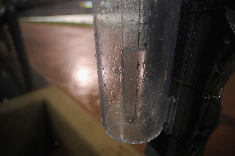
Showers and thunderstorms developed late Sunday night across Minnesota, and continued to redevelop over the same areas through midday Monday, creating some hefty rainfall totals.
The heavy rainfall prompted the National Weather Service to issue Flash Flood Watches and Flash Flood Warnings for areas of Minnesota, as some small streams and roadways flooded. A handful of mudslides were also reported.
24-Hour Minnesota Rainfall Totals for Sunday & Monday
- Bird Island: 7.14 inches
- Miesville: 6.13 inches
- Cannon Falls: 5.54 inches
- Burnsville: 5;10 inches
- Lakeville: 4.64 inches
- Hastings: 4.61 inches
- Little Falls: 4.50 inches
- Monticello: 2.14 inches
- Mora: 1.88 inches
- Milaca: 1.45 inches
- Princeton: 1.29 inches
- St. Cloud: 1.29 inches
- Sartell: 1.10 inches
Across the border in Wisconsin, Emerald in St. Croix County picked up a soggy 9.13 inches in the same time frame.
The forecast for Central Minnesota for the rest of the week looks much drier and very hot. Wednesday looks like our best bet for more thunderstorms. High temperatures in Saint Cloud this week are forecast to reach the low to mid nineties through next Monday.
Saturday is the Fourth of July, and the high temp in Saint Cloud is expected to hit a sultry 95°.
Heat indices will hover in the low triple-digits all week, so the importance on taking it easy, staying hydrated, and enjoying air-conditioning when you can will be a priority.
Pete Hanson is on 98.1 Minnesota's New Country weekday mornings from 5:30 to 10:00.

This Secret 4th of July Parade is One of the Best in Central Minnesota
More From 98.1 Minnesota's New Country