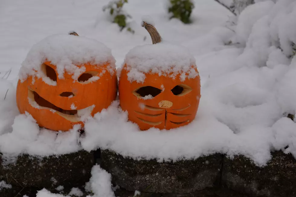
Winter Weather Advisory through Tonight
A Winter Weather Advisory remains in effect through midnight tonight for portions of Central Minnesota, including Benton, Mille Lacs, Morrison, Sherburne, and Stearns (+more) counties -- as well as the Twin Cities metro.
Mixed precipitation is expected, with total snow accumulations of 2 to 3 inches and ice accumulations of a light glaze in St. Cloud.
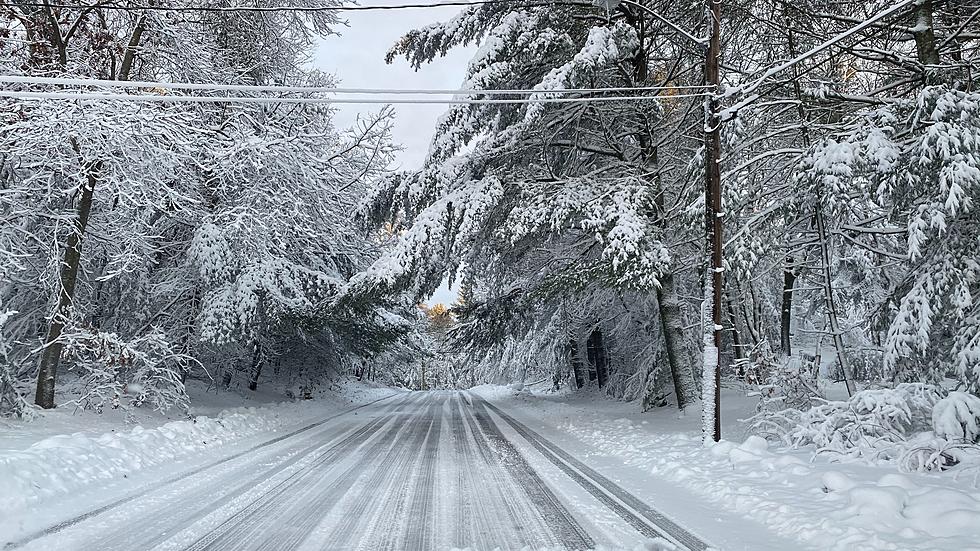
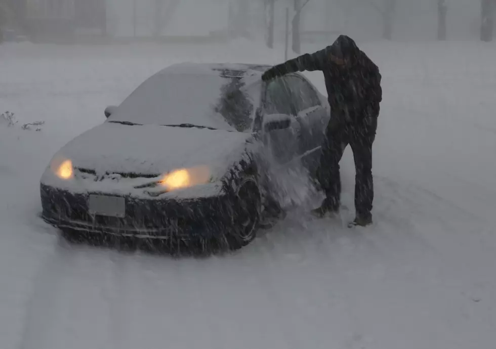
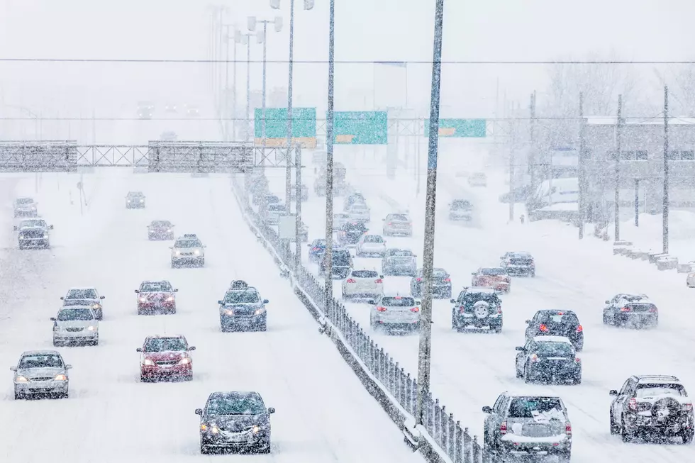
Snow and ice accumulations will continue to create difficult to hazardous travel across much of the area.

Plan on slippery road conditions. Patchy blowing snow could significantly reduce visibility. The hazardous conditions could impact the morning and evening commutes on Monday.
From the National Weather Service this morning: Light snow or flurries will develop today and become more persistent in eastern Minnesota, and western Wisconsin. Some freezing drizzle is possible early. Strong winds are also expected to develop and cause areas of blowing and drifting snow, especially across western and southern MN. The light snow will begin to taper off tonight, with the snow ending by Tuesday morning.
NEXT: MnDOT's 511 System Helps You Navigate Snowy Roads: With yet another winter storm on its way, the Minnesota Department of Transportation reminds you that they've added some new features to their 511 traveler information system.
Pete Hanson is on 98.1 Minnesota's New Country weekday mornings from 5:30 to 10:00.
More From 98.1 Minnesota's New Country