Summer Fun is at Your Fingertips with New MN State Forest Maps
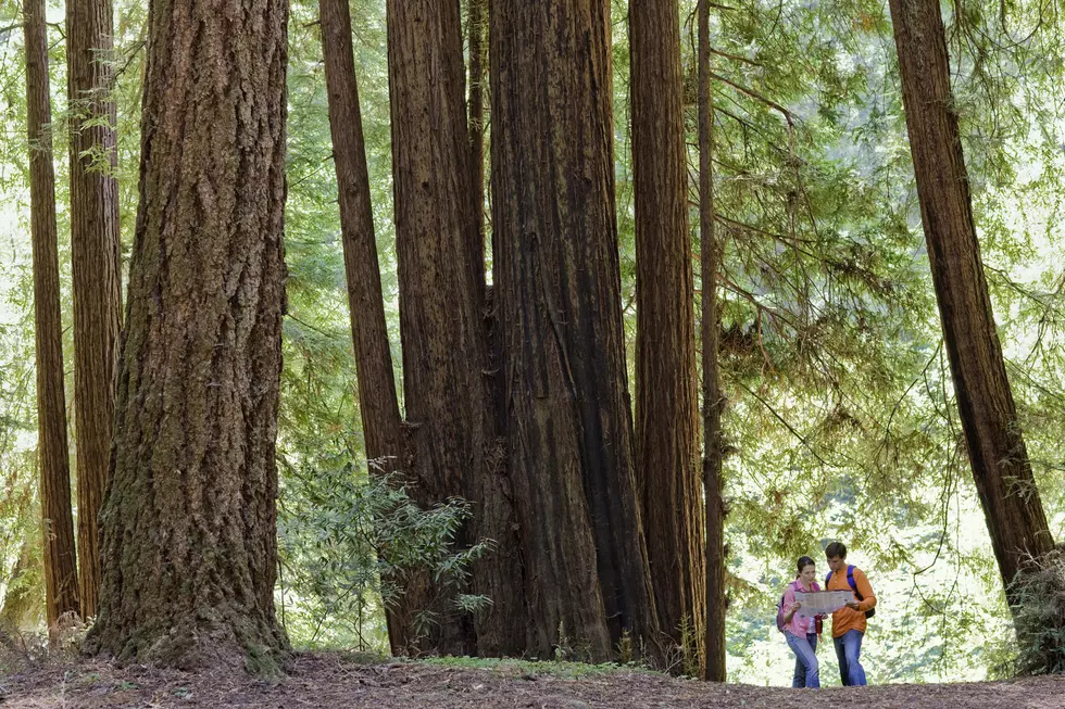
One of the safest things you can do during the pandemic is to get out into nature and the Minnesota Department of Natural Resources has made it easier to find your next outdoor adventure.
Eight new state forest maps have been released and are available in both print and mobile formats for Bear Island, Big Fork, Burntside, Remer, Koochiching, Smokey Bear, Golden Anniversary and White Earth state forests.
The maps allow people search for great places to do things such as ATV riding, fishing, camping, hiking, berry picking, horseback riding and more.
“Whether you prefer a wilderness canoe paddle or an ATV ride, there’s a summer state forest experience for everyone – and our new state forest maps will make the experience even better,” said Laura Duffey, state forest map coordinator.
In addition to the new maps for these eight forests, the Minnesota DNR recently updated maps for an additional 23 state forests.
There are a couple of ways you can access the maps:
- The free Avenza App provides access to Minnesota state forest maps. Before you go. Download the app and navigate to the desired map by searching MNDNR + state forest name in their store. Your phone’s GPS will allow you to see your location, track distance and more.
- Fresh, redesigned paper maps with site-specific details are available from the DNR Info Center / 888-646-6367. A PDF version of the paper map can also be downloaded and printed from the state forest webpage.

You can follow the link below for complete information and to see an updated list of state forest maps.
Things You May Not Have Thought About Grilling
More From 98.1 Minnesota's New Country


