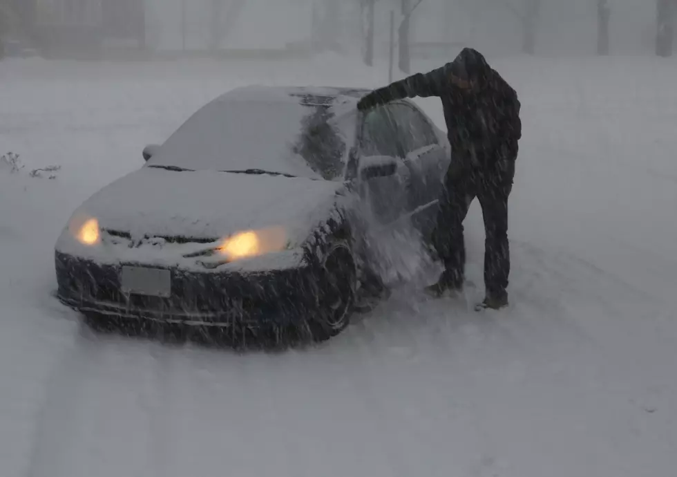
Snow Ends This Morning, Followed by Bitter Cold
A Winter Weather Advisory remains in effect for Benton, Sherburne, and Stearns counties through Noon today, with a Winter Storm Warning is in effect for counties north of the St. Cloud area.
4 to 6 inches of snow are expected through Noon today for the St. Cloud area, with 6 to 8 inches to the north in the Winter Storm Warning Area.

Northwest winds of 20 to 30 mph with gusts to 40 mph are also expected to cause areas of blowing snow, mainly across west central Minnesota.
Monday morning's commute will likely be significantly impacted. Plan on slippery road conditions. Slow down and use caution while traveling.
Following the snow, much colder air will move into the region for Tuesday through Wednesday Night. Near record lows are expected Tuesday night, and wind chill values Wednesday morning will be from 20 to 30 below zero across much of the area.
From the National Weather Service this morning: Much colder air will move into the region tonight through Wednesday Night. Winds will still be brisk late tonight into Tuesday morning, making for cold wind chill temperatures for those heading out in the morning. Winds will be lighter Wednesday morning, but temperatures will be lower, so wind chills will be similar or colder.
NEXT: MnDOT's 511 System Helps You Navigate in a Winter Storm: Minnesota Department of Transportation reminds you that they've added some new features to their 511 traveler information system.
Pete Hanson is on 98.1 Minnesota's New Country weekday mornings from 5:30 to 10:00.
More From 98.1 Minnesota's New Country