Winter Storm Watch for Friday Night through Sunday
On the heels of yesterday's storm, the National Weather Service has issued a new Winter Storm Watch for all of Central Minnesota in effect from Friday evening through Noon on Sunday.
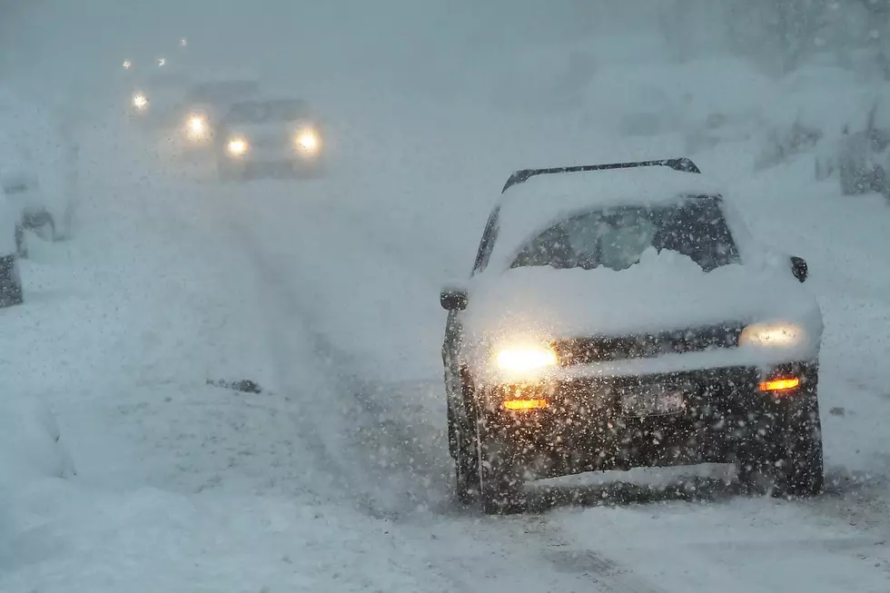
It's early, but heavy is snow possible, with total accumulations of over 12 inches a possibility. Additionally, winds could gust as high as 45 mph. Travel could be very difficult. Areas of blowing snow could significantly reduce visibility.


There's still lots of uncertainty with this system, in particular with how far north the rain/snow line will setup Saturday, but confidence is increasing in another high impact winter system this weekend, especially across central Minnesota into northwest Wisconsin.
A Winter Storm Watch means there is a potential for significant snow...sleet...or ice accumulations that may impact travel. Continue to monitor the latest forecasts.
More From 98.1 Minnesota's New Country