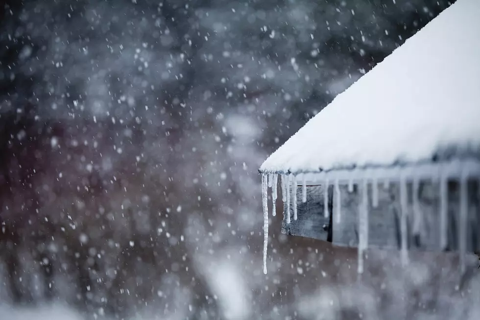
Major Snowstorm to Impact Parts of Minnesota Tomorrow
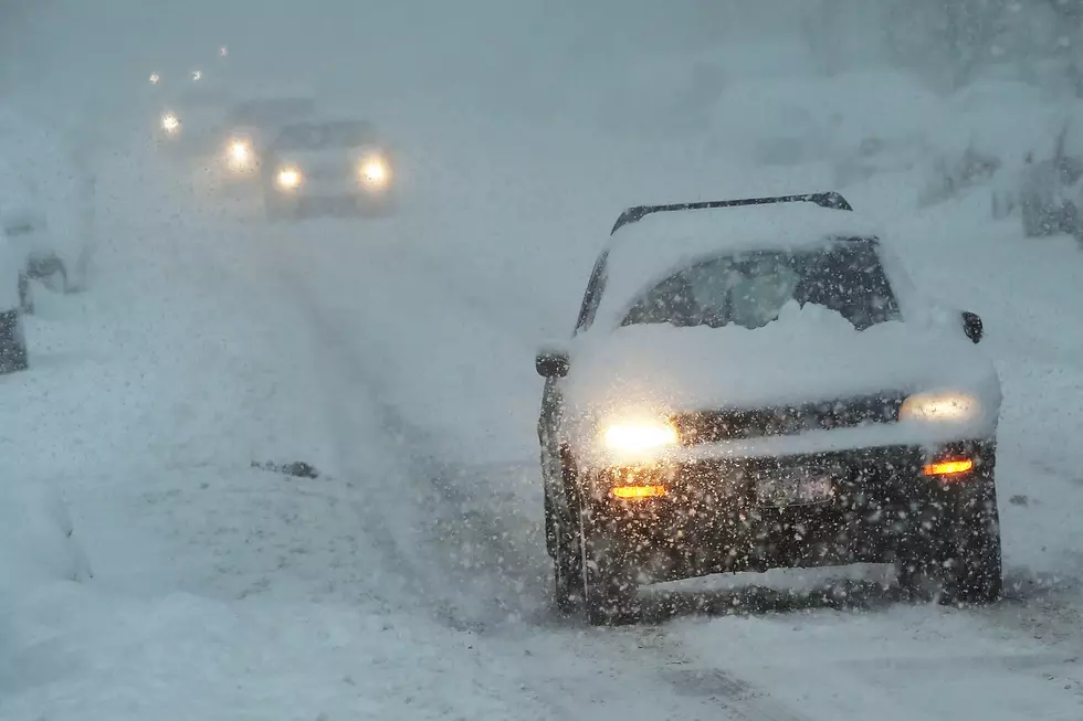
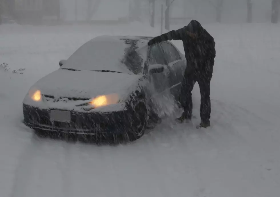
The National Weather Service says parts of Minnesota could see up to a foot of snow tomorrow and tomorrow night as a spring storm approaches.
A Winter Storm Watch is in effect for the Twin Cities and southeastern Minnesota from 7 AM Sunday morning through 7 AM Monday morning. A Winter Weather Advisory has been issued for the southwest part of the state.

From the National Weather Service this morning: Rain will work into the southern part of the area tonight, then mix with and eventually change to snow as it spreads northeast across most of the area on Sunday. Snow will continue into Sunday night over east central Minnesota and west central Wisconsin. There remains uncertainty on the track of the storm and where the heaviest snow will occur. Accumulations along the axis of heaviest snow will likely range from 7-12”, with significantly less snow outside of that area.
Pete Hanson is on 98.1 Minnesota's New Country weekday mornings from 5:30 to 10:00.
Fresh Food Hacks to Extend the Life of Your Food
More From 98.1 Minnesota's New Country