You Might Need A Shovel Or An Umbrella In Minnesota Monday Night, Forecast Unclear
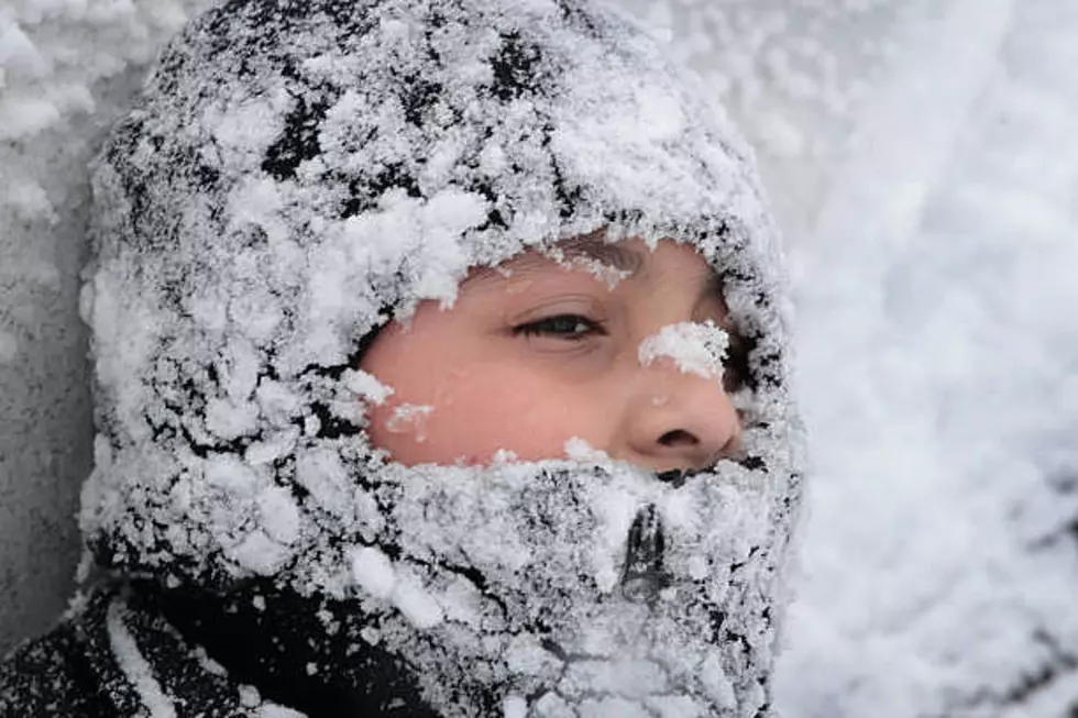
It's looking like the approaching weather system that is expected to hit our area Monday night is still giving the National Weather Service fits. In the Sunday morning weather update from the National Weather Service, they state that depending where the front crosses Minnesota will decide what type of precipitation we will see...so get the shovels and umbrellas ready at least for now.
Currently, there is a wide portion of the state that is in a Winter Storm Watch from 9pm Monday night through 12am Wednesday morning.
The National Weather Service has put out the following statement on the upcoming weather.
Morrison-Mille Lacs-Kanabec-Stearns-Benton-Sherburne-Isanti-
Chisago-Wright-Hennepin-Anoka-Ramsey-Washington-Polk-Barron-Rusk-
St. Croix-Pierce-Dunn-Pepin-Chippewa-Eau Claire-
Including the cities of Little Falls, Princeton, Mora, St Cloud,
Sauk Rapids, Elk River, Cambridge, Center City, Monticello,
Minneapolis, Blaine, St Paul, Stillwater, Osceola, Rice Lake,
Ladysmith, Hudson, River Falls, Menomonie, Durand,
Chippewa Falls, and Eau Claire
1121 AM CST Sun Jan 1 2023

...WINTER STORM WATCH REMAINS IN EFFECT FROM MONDAY EVENING
THROUGH TUESDAY EVENING...

* WHAT...Heavy mixed precipitation possible. Total snow
  accumulations of 3 to 6 inches and ice accumulations of up to
  two tenths of an inch possible.

* WHERE...Portions of central and east central Minnesota and
  northwest and west central Wisconsin.

* WHEN...From Monday evening through Tuesday evening.

* IMPACTS...Travel could be very difficult. Heavy icing could
  cause downed tree branches and power lines.

PRECAUTIONARY/PREPAREDNESS ACTIONS...

Monitor the latest forecasts for updates on this situation.
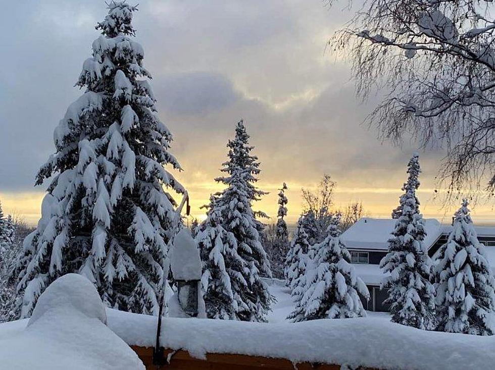
A winter storm is still on track to impact the area Monday evening through Tuesday. Heavy snow, freezing rain, & rain are all possible at times - depending on how far north or south the storm tracks.
The pending system is still giving forecasters fits as they are still unsure where the system will set up as it crosses Minnesota. You can see from the graphics that the amount of snow/rain varies with each model presented.
Right now it seems the forecasters are gaining 'confidence' that Central Minnesota will see "snowfall of 6" or greater" between Monday night and Tuesday morning.
There is even a chance of parts of Minnesota that will see 12" of snow or more in the Southwestern area of the state.
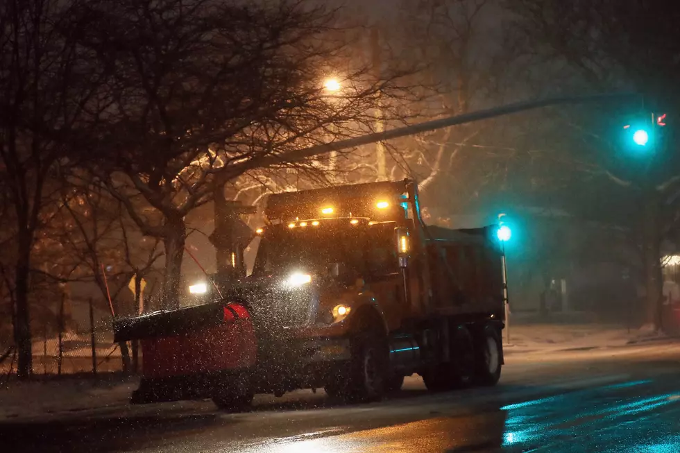
If you plan on traveling Monday night through Tuesday night, make sure you have the necessary supplies and consult with 511mn.org for road conditions before heading out.
Cozy Up at This New Coffee Shop in Long Prairie
Here are the Restaurants that Opened in the St. Cloud Area in 2022
More From 98.1 Minnesota's New Country