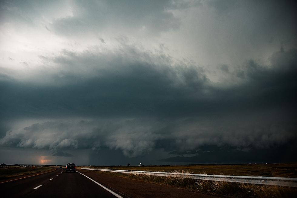
Severe Storms, Heavy Rain Possible Today
The National Weather Services says severe storms are possible across portions of Central Minnesota this afternoon and evening.
Storms are also expected to be slow moving, producing heavy rain, and flooding if they stall out over the same location. The primary severe weather threats, in addition to flooding, are damaging wind and large hail. The chance of a tornado cannot be ruled out either.

The National Weather Service says we can expect the above average temperature trend to last at least through the middle of the month. High temperatures are expected to be near or slightly above 90° through next weekend.


Very heavy rainfall could lead to flash flooding. Never attempt to cross flooded roads. Turn around, don't drown!
From the National Weather Service this morning: A slight risk for severe weather is forecast for today, mainly for a round of storms already ongoing that is set to move through by the afternoon. Further storms are possible mainly later this evening.
Pete Hanson is on 98.1 Minnesota's New Country weekday mornings from 5:30 to 10:00.
8 Strange or Unique Minnesota City Nicknames
More From 98.1 Minnesota's New Country