Fire Weather Warning + Wind Advisory for Today
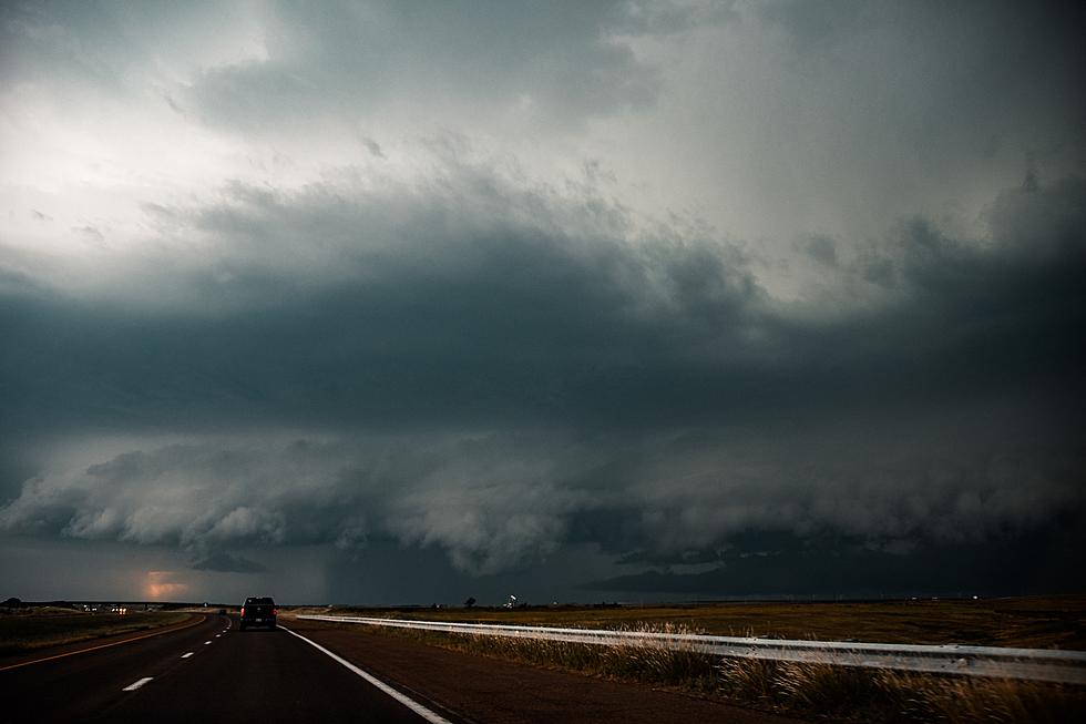
Today will be very windy across Central Minnesota, with 20-30 mph winds gusting as high as 50 mph during the afternoon -- prompting the National Weather Service to issue a Wind Advisory for our area in effect from Noon today through 9 PM tonight.
Gusty winds could blow around unsecured objects. Tree limbs could be blown down and a few power outages may result. Use extra caution when driving, especially if operating a high profile vehicle. Secure outdoor objects.
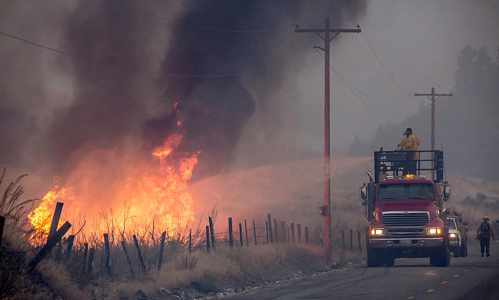
The high winds combined with low humidities and dry conditions will increase wildfire danger across Western Minnesota where a Red Flag Warning has been issued from Noon today through 1 AM tonight, including Douglas, Kandiyohi, Meeker, Morrison, Pope, Stearns, Swift, and Todd Counties.
Any fires that develop will likely spread rapidly. Outdoor burning is not recommended.

A Red Flag Warning means that critical fire weather conditions are either occurring now or will shortly. A combination of strong winds, low relative humidity, and warm temperatures can contribute to extreme fire behavior.
According to NOAA's 2021 Spring Outlook for the United States, Minnesotans could expect a warmer than normal Spring -- which would mean that we could see some warm temperatures in April, with the next three months looking warmer too.
From the National Weather Service this morning: A Wind Advisory is in effect for the entire forecast area from noon to 9pm Monday. Southwest winds of 20-30 mph with gusts to 50 mph expected. Dangerous fire weather conditions also expected Monday. Showers possible Monday night as a cold front pushes thru. Temperatures drop afterwards.
LOOK: Stunning vintage photos capture the beauty of America's national parks
More From 98.1 Minnesota's New Country


