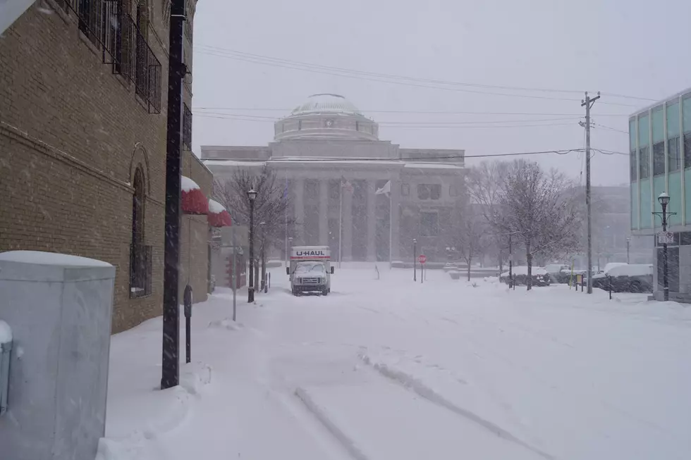
Snow on the Way
The National Weather Service is saying that a significant snow storm is headed for Minnesota. While the track has begun to shift a bit farther north, the areas most likely to see the biggest totals remain the southern and east central parts of the state. Stay tuned!
Mankato, Rochester, Albert Lea, Red Wing, and the Twin Cities could see 5 to 10 inches of snow by the time this is over -- but the storm is still a few days away so stay tuned for track and amount changes as we get closer.
From the National Weather Service this morning: A strong winter storm will take aim at the Upper Midwest late this week. Timing remains on track that the bulk of the winter storm will affect the region between Thursday night and into Friday evening. Due to subtle differences in the storm track and location, specific snowfall amounts are not known. But, the best potential of heavy snowfall remains across south central and southeast Minnesota, and into west central Wisconsin.
More From 98.1 Minnesota's New Country