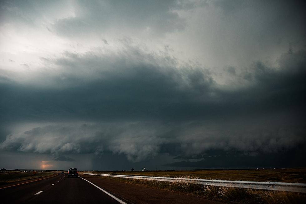
Severe Weather Risk Later Today
The National Weather Service says there's a marginal risk of severe weather across Central Minnesota this afternoon -- meaning spotty severe thunderstorms are possible across the area today.
The greatest likelihood of severe weather is south of a line from Marshall to Eau Claire.

The most likely time frame for severe weather is during the afternoon and evening. There is a small chance the storms could develop as soon as the late morning, but the afternoon/evening time frame is most likely.
Large hail, damaging winds, and heavy rainfall are possible. There is also a small threat for tornadoes, mainly in the Enhanced Risk area.
Be weather aware and have a way to receive warnings. Tune to 98.1 FM for future updates.
From the National Weather Service this morning: The risk of severe thunderstorms has increased later today as there is an enhanced area of severe weather potential. A few morning and early afternoon thunderstorms will be possible as across western Minnesota. These storms are forecast to move east across southern Minnesota this afternoon. The greatest threat of severe thunderstorms will occur by mid-late afternoon from Mankato, eastward to Owatonna and Albert Lea. These outlooks will be updated this morning and again this afternoon. Please be aware of the latest forecast.
Pete Hanson is on 98.1 Minnesota's New Country weekday mornings from 5:30 to 10:00.

15 Minnesota Delicacies Everyone Should Try
More From 98.1 Minnesota's New Country