Severe Weather Possible Overnight Tonight
The National Weather Service says there's a risk of severe weather across parts of Central Minnesota overnight tonight.
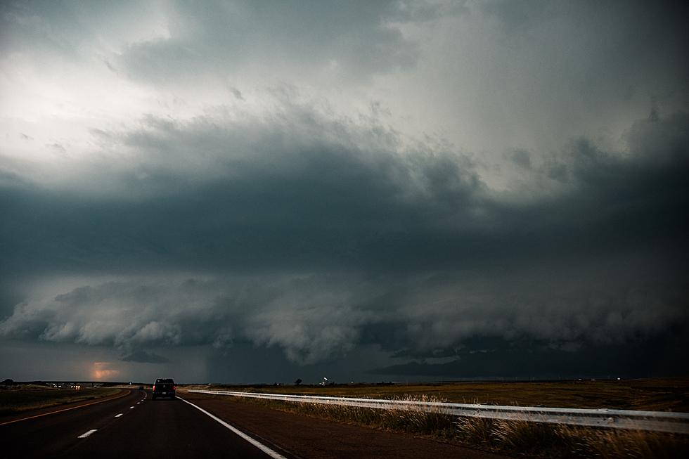
Essentially the western half of Minnesota is at risk for severe thunderstorms overnight, with the highest risk in the extreme western part of the state along the border with the Dakotas. Strong wind gusts with the possibility of damaging wind will be the main threat.
The storms are not expected to reach the Saint Cloud area until well after midnight . Thunderstorms are also likely again Wednesday afternoon.
Following Wednesday's storms, Central Minnesota is in for a hot and dry streak through the Independence Day weekend. High temperatures are expected to soar into the nineties in Saint Cloud Thursday through Monday. Heat indices are expected to be near 100 degrees throughout the period.
The average high temps for this time of year are in the low 80s.
Be weather aware, and have a way to receive watches and warnings. Tune to 98.1 Minnesota's New Country for weather alerts.
From the National Weather Service this morning: A severe risk exists with the thunderstorms tonight and overnight across the western half of Minnesota. Damaging wind gusts will be the primary hazard.
Pete Hanson is on 98.1 Minnesota's New Country weekday mornings from 5:30 to 10:00.

Foods That Could Kill Your Dog or Make Them Very Sick
More From 98.1 Minnesota's New Country