Severe Storms Possible this Afternoon & Tonight
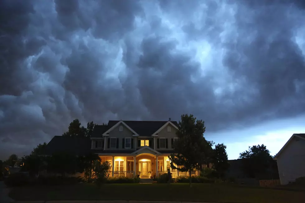
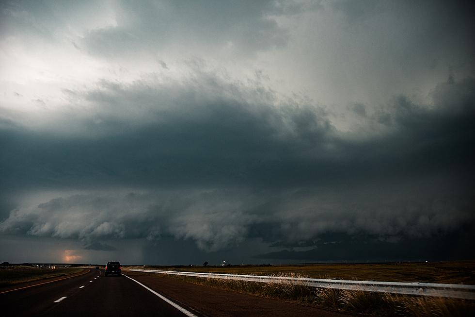
The National Weather Services says severe storms are possible across portions of Central Minnesota this afternoon and evening.
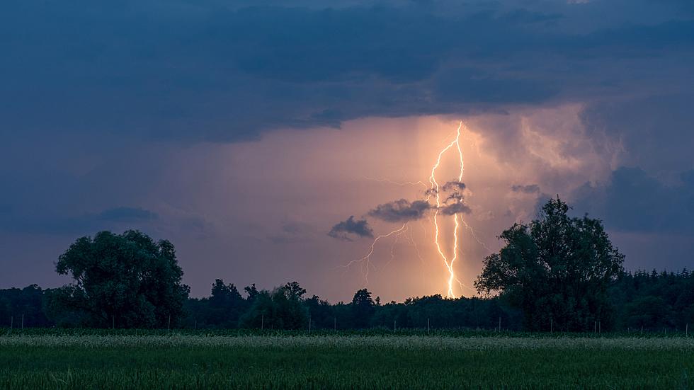
Storms are expected to develop this afternoon and move across the area through the evening. The primary severe weather threats are damaging wind, heavy rain, frequent lightning, large hail. The chance of a tornado cannot be ruled out either.
Rain would be a welcome event, as much of Central Minnesota remains abnormally dry, with the NOAA's Midwest Drought Summary classifying parts of Stearns, Kandiyohi, Douglas, Pope, and Todd counties as experiencing moderate drought conditions.
The heat index in St. Cloud is expected to approach 100° today. The National Weather Service says we can expect the above average temperature trend to last at least through the middle of the month. High temperatures are expected to be near or slightly above 90° into next week.
Stay weather aware today & tonight, and have a way to receive warnings.
From the National Weather Service this morning: Thunderstorms are expected Wednesday afternoon into Thursday as a front passes. Severe storms are possible, primarily Wednesday afternoon into the evening, with the primary risks being gusty winds and large hail.
Pete Hanson is on 98.1 Minnesota's New Country weekday mornings from 5:30 to 10:00.

8 Strange or Unique Minnesota City Nicknames
More From 98.1 Minnesota's New Country


