More Snow + Single Digits on the Way (All Before Halloween)
It's 2020, where nothing is as it used to be. Nice to see Mother Nature playing along. Our third pre-Halloween shot of snow is on the way this weekend, followed by single-digit lows next week.
The average high for this time of year is the low to mid fifties, so lately we've been running anywhere from fifteen to twenty degrees below average -- and next week it's going to get worse.
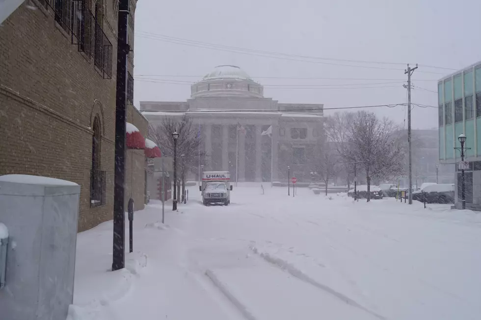
On Tuesday we set a single-day snowfall record in Saint Cloud for any day in October, ever! Tuesday's 6.4 inches beat the old record of 5.8 inches that was set on October 20, 1936. Eighty-four years. Then more snow for some yesterday, with more on the way this weekend.
The National Weather Service is now saying that we could see anywhere from two to five more inches of snow this Saturday night through Sunday. I can deal with the snow. It's the temperatures next week that I fell less excited about.

Forecast High Temps in Saint Cloud
- SAT: 27°
- SUN: 29°
- MON: 26°
- TUE: 28°
- WED: 35°
- THU: 35°
- FRI: 33°
Now remember, the average high in Saint Cloud for late October is right around fifty, so when I tell you that we'll see high temperatures in the twenties this weekend through midweek -- that's way below normal. Tuesday morning we'll wake up to low temps in the single digits! C-R-A-Z-Y.
From the National Weather Service this morning: We'll get a break from wintry weather today and tomorrow, but snow is back in the forecast for tomorrow night into Sunday. Several inches of snow are again possible, with highest amounts expected in southwest Minnesota.
Pete Hanson is on 98.1 Minnesota's New Country weekday mornings from 5:30 to 10:00.
10 Childhood Life Hacks You (Probably) Still Use Today
More From 98.1 Minnesota's New Country


