Hot Today, Slight Risk of Severe Storms Tonight for St. Cloud Area
The National Weather Service says there's a risk of severe weather across central and southern Minnesota this evening.
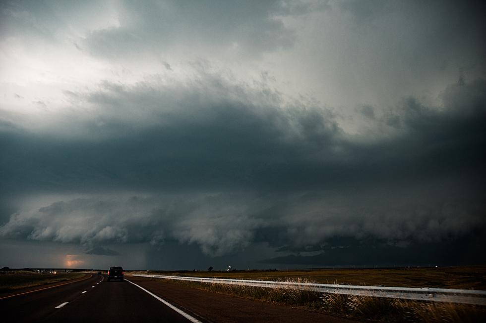
Thunderstorms could develop late this afternoon and evening with large hail and damaging winds as the main threats. There is a second chance at severe storms later tonight into Wednesday morning.
The chance of severe weather will continue tomorrow, with a slight risk across Central Minnesota on Wednesday, and a greater threat into western Wisconsin.

Tonight's St. Cloud Forecast: A 20 percent chance of showers and thunderstorms after 1am. Partly cloudy, with a low around 70. East northeast wind around 5 mph becoming calm in the evening.
From the National Weather Service this Morning: Besides being hot and humid, there will be chances for thunderstorms and severe weather both today and Wednesday. The thunderstorm and severe weather potential is greatest Wednesday.
Another Hot One Across Minnesota
An Excessive Heat Watch has also been issued for the Saint Cloud area from this evening through Wednesday evening, when dangerously hot conditions with heat index values up to 107 will be possible.
A Heat Advisory is in effect today for areas just to the south of Saint Cloud, including Kandiyohi, Meeker, and Wright Counties,
The National Weather Service reminds everyone to be prepared to drink plenty of fluids, stay in an air-conditioned room, stay out of the sun, and check up on relatives and neighbors.
Be weather aware, and have a way to receive severe weather warnings.
TIPS: Here's how you can prepare for power outages
LOOK: The most expensive weather and climate disasters in recent decades
KEEP READING: Get answers to 51 of the most frequently asked weather questions...
More From 98.1 Minnesota's New Country