Ever Wonder What it Takes to Get Severe Weather to Happen?
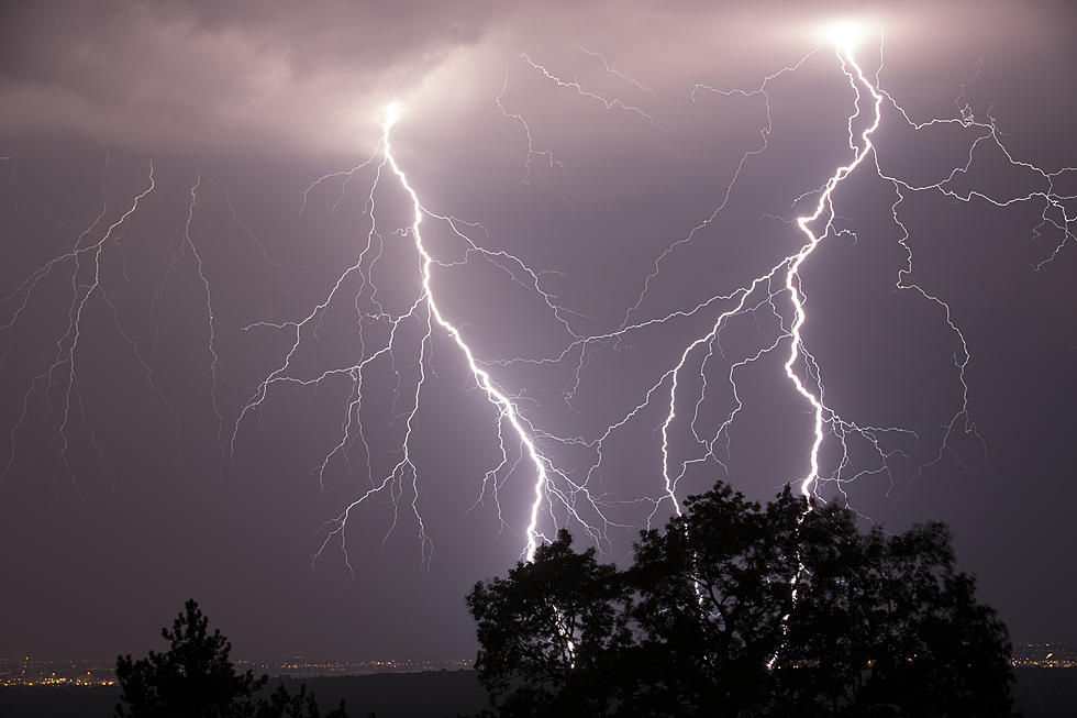
Severe weather is a possibility for much of Minnesota Wednesday into Thursday with rain and storms in the forecast. I talked with meteorologist Megan Moulford from weatherology.com. She says to have a thunderstorm 3 ingredients are needed; moisture, instability and lift.
She says the high dew points and humidity is what we have today. The instability is when you have heat at the surface that warms and cools a lot and a lift is a frontal system that can be a jet stream. Moulford says a lot of severe weather comes after a cold front. She says a front is a clash of 2 air masses.

Weather in our area moves primarily from west to east. Megan says it is because the United States is part of the westerlies which means the jet streams in the northern part of the hemisphere blows from west to east. She says part of western Africa along the Atlantic Ocean is where the easterlies are located.
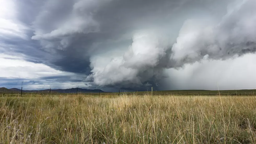
She says that's why you see hurricanes go from east to west until they get caught up in the westerlies. Moulford says that's why you see hurricanes hit the gulf coast and Texas and then move east. She says it is rare to see storms move from east to west in Minnesota but it can happen if they are on the top of a high pressure system because high pressure systems go clockwise.
Moulford says most storms move along the low pressure system and that can bring those storms northwest or southwest as it follows the cold front.
Hear my complete conversation with Megan Moulford below.
8 Essentials to Have on Hand for Storm Watching in Minnesota
More From 98.1 Minnesota's New Country


![Storm Photos from Around Central Minnesota [Thursday, May 12th]](http://townsquare.media/site/65/files/2022/05/attachment-Untitled-design-2022-05-13T053645.3901.jpg?w=980&q=75)
![Funnel Cloud Caught on Video Near Gilman Monday [WATCH]](http://townsquare.media/site/65/files/2022/05/attachment-Untitled-design-2022-05-10T055242.323.jpg?w=980&q=75)