Chance of Severe Storms This Evening & Overnight Across Central Minnesota
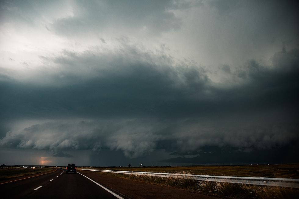
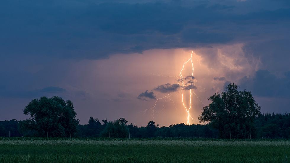
The National Weather Service says there's a slight risk of severe weather this evening across a large part of Minnesota.
It may not be the kind of fireworks we were hoping for, but any storms that develop are expected to move through the area quickly and be short-lived, allowing for the big, professional Fourth of July fireworks show to proceed as planned.
The most likely time of arrival looks like this evening through the overnight hours. High temperatures in the upper 90s will help to add to the instability as a cold front approaches from the northwest.

The main risks with any storms that become severe are large hail and damaging winds.
Today's St. Cloud Forecast: Mostly sunny and hot, with a high near 94. Heat index values as high as 97. South southwest wind 10 to 15 mph.
From the National Weather Service this Morning: Expect a hot one with a slight chance of thunderstorms this afternoon & evening, some of which could be severe. Please stay alert if you have outdoor plans this afternoon/evening.
Be weather aware, and have a way to receive severe weather warnings. Tune to 98.1, and we'll keep you in the loop if any watches or warnings are issued.
TIPS: Here's how you can prepare for power outages
LOOK: The most expensive weather and climate disasters in recent decades
KEEP READING: Get answers to 51 of the most frequently asked weather questions...
More From 98.1 Minnesota's New Country

