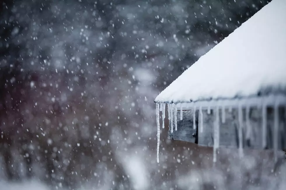
UPDATE: Major Winter Storm Expected Thursday Night & Friday
The National Weather Service has issued a Winter Storm Watch for the southern half of Minnesota including Stearns, Benton, and Sherburne counties from Thursday evening through Friday afternoon -- with an additional Blizzard Watch issued for the southwest quarter of the state.
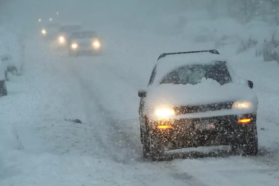
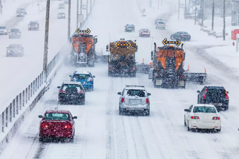
The National Weather Service says this could be the strongest winter storm of the season, bringing 6-12 inches of snow to the Watch area, with amounts over a foot possible. To make matters worse, strong winds of 20-30 mph could gust as high as 40 mph -- causing blowing & drifting snow, poor visibilities, and blizzard conditions.
From the National Weather Service this afternoon: Today will spell an end to our run of record February warmth, with a significant winter storm still expected for Friday. Only minor changes were made to the snowfall forecast today, with the exception of issuing a Blizzard Watch across southwestern Minnesota. Some models have shifted east today and this will need to be watched closely. Very difficult travel conditions are anticipated across much of the area Friday.
More From 98.1 Minnesota's New Country