Winter Storm Watch for Tuesday
The National Weather Service has issued a Winter Storm Watch has been issued from Noon Tuesday through Midnight Tuesday night for portions of central Minnesota.
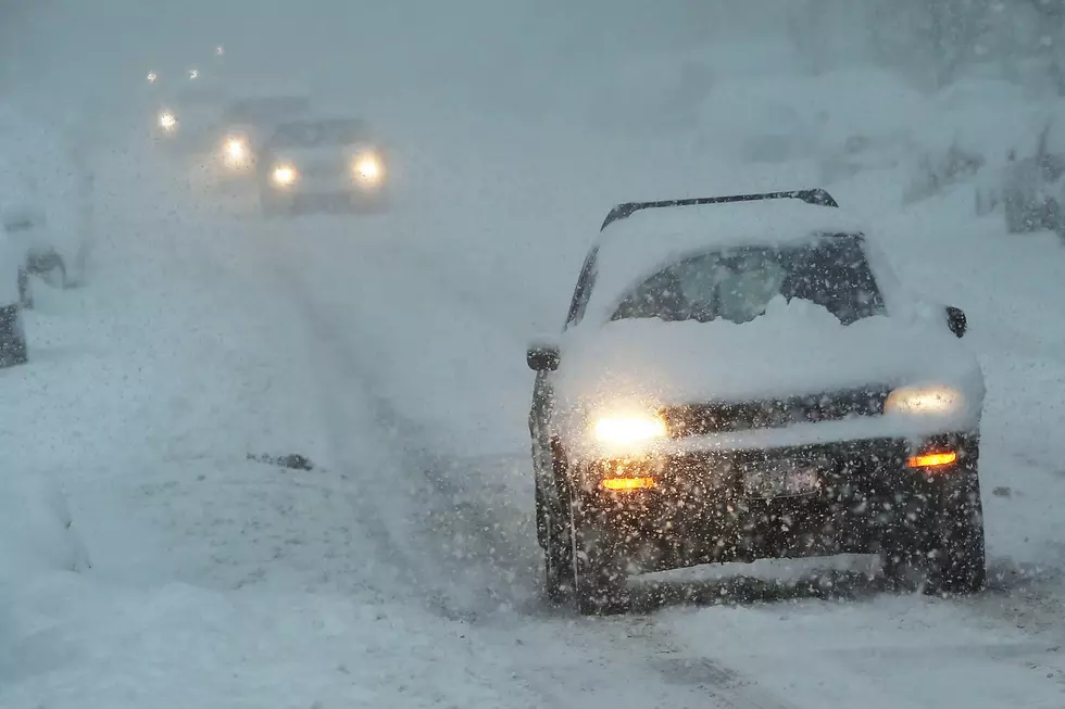
This Winter Storm Watch includes Sherburne and Wright Counties, plus more to the south and east, including the Twin Cities metro area. This band of expected snow fall could still shift to the east or west.
A narrow band of snowfall from 4 to 7 inches is expected from southwest Minnesota to northwest Wisconsin. The afternoon commute may be significantly impacted with the heaviest snow most likely occurring during that time.

The current forecast is calling for snow likely after 1:00 PM in the Saint Cloud area, with a total accumulation of 1 to 3 inches, but that could increase or decrease if the storm track shifts in one directory or another.
In addition to the potential for accumulating snow, temperatures are expected to remain below normal for several days, with highs in the thirties through the week, climbing to the forties this weekend. The normal high for today is 43.
Stay tuned!
Pete Hanson is on 98.1 Minnesota's New Country weekday mornings from 5:30 to 10:00.
13 Things That Would Be Hard to Explain to Someone From 2019
More From 98.1 Minnesota's New Country