Big Fall Storm Could Be Headed for Minnesota by Week’s End
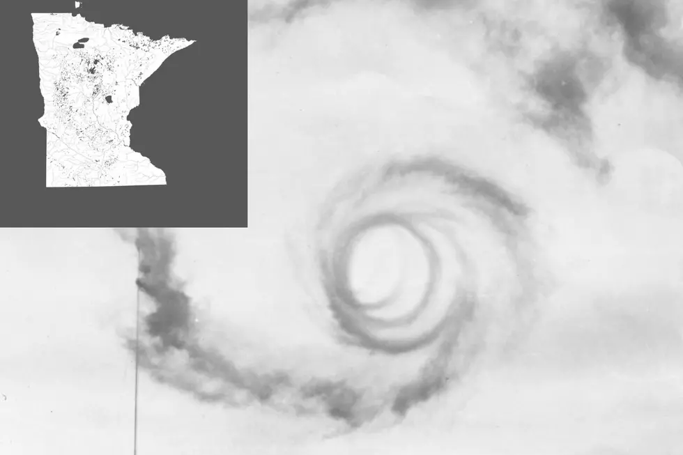
UNDATED (WJON News) -- A pretty impressive fall storm system will develop later this week and bring widespread rain across the Upper Midwest.
It's too early to say who will see the highest amounts, but something to keep an eye on if you have outdoor plans. The northern heavy rain is associated with an area of low-pressure forecast to track from West Coast to East Coast through the workweek. In addition to the heavy rain, some wintry weather is in store for the northern Rockies through midweek.
Climate Prediction Center
Before the rain arrives, temperatures will continue to be below normal for the rest of the week. The coldest night will be tonight with freezing temperatures possible for many locations. Slightly warmer, but still below normal later this week. Highs in St. Cloud this week will stay in the lower to upper 50s. The normal high for this time of the year is about 60 degrees.

Get our free mobile app
READ RELATED ARTICLES
- Shadows and Spirits Tour at Minnesota Capitol
- Five Former Rox Players in MLB Post-Season
- Husky Pride This Week for SCSU Homecoming
- Mesa Flights Return this Week at St. Cloud Airport
- 2nd Annual Flannel Fest at The Ledge
LOOK: 13 Best Public Elementary Schools in Minnesota
Check out the best public elementary schools in Minnesota.
Gallery Credit: Stacker
More From 98.1 Minnesota's New Country